Güvercinada (Pigeon Island)
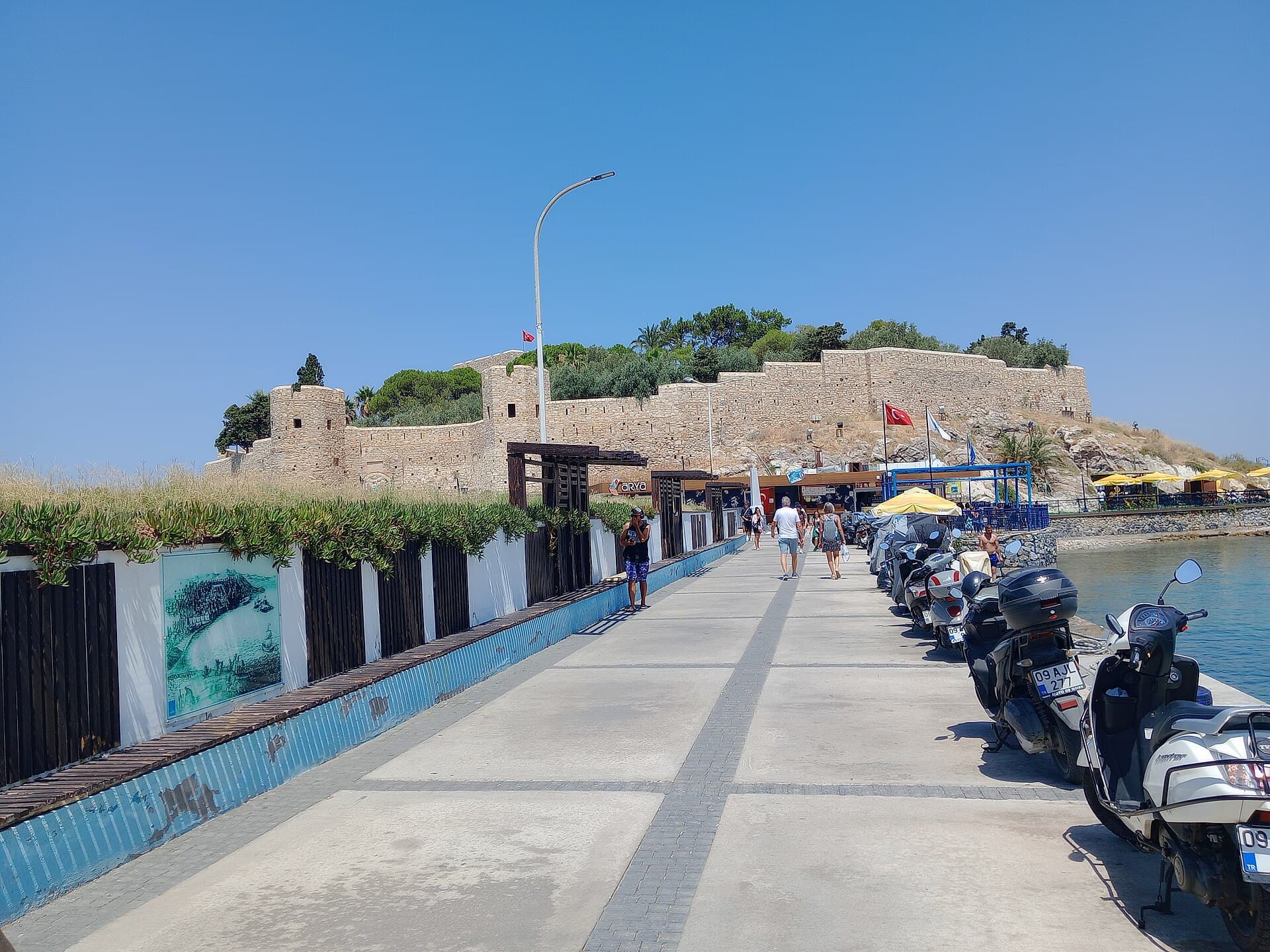
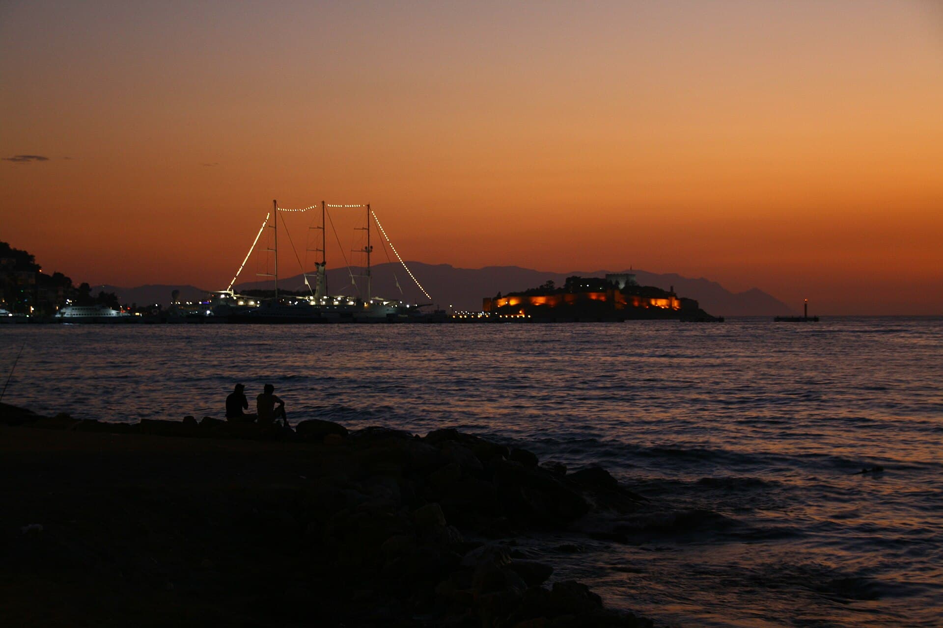
A walled islet on a 350-metre causeway, ten minutes from the cruise berth — Kuşadası's emblem, and its best hour is before sunset.
Enough context, no spoilers
Why it matters
Byzantine in origin, the fortress was rebuilt under the Ottomans; guidebooks credit Barbaros Hayreddin, the municipality says Byzantine, and the UNESCO tentative file calls it a medieval trading-route fortification — the attribution is genuinely unsettled. The outer walls are dated: an inscription records İlyas Ağa, governor of Sığla, raising them in 1826 with stone barged from Yılancıburnu.
What to know before you go
Güvercinada is the reason Kuşadası has a skyline. A low rock joined to the shore by a breakwater, ringed by three-metre walls, lit at night, and visible from every seafront table in town — it does more work as an image than as a monument, and that is worth saying plainly. What it actually offers is a twenty-minute circuit of the walls, a small inner castle, and the best view back at the town and the strait. Since October 2024 the inner castle has also held the Museum of Maritime Trade History, and that changed the visit materially: what used to be a free walk on a headland is now a ticketed site with a collection worth an hour on its own. The museum is a single-subject one, built from a private collection and run by the municipality, and it is better than it sounds. Seven sections cover marine life, fishing, trade goods, amphorae, hand scales and coins, and the holdings of weights — including Roman ones cast as figured busts — are among the richest anywhere. The amphora sequence is the useful one: cargo containers change shape by period and origin, so a row of them is a map of who was trading with whom. The attribution problem is genuinely interesting rather than a footnote. The municipality dates the fortification to the Byzantine period; another account gives the inner castle to fourteenth-century Genoese merchants who founded Scala Nova; the traditional telling credits Barbaros Hayreddin. Only the outer walls are firmly dated, by that 1826 inscription. Go in the hour before sunset. The causeway faces west, the light is on the walls, and the day's cruise ships have sailed.