Citadel of Ani
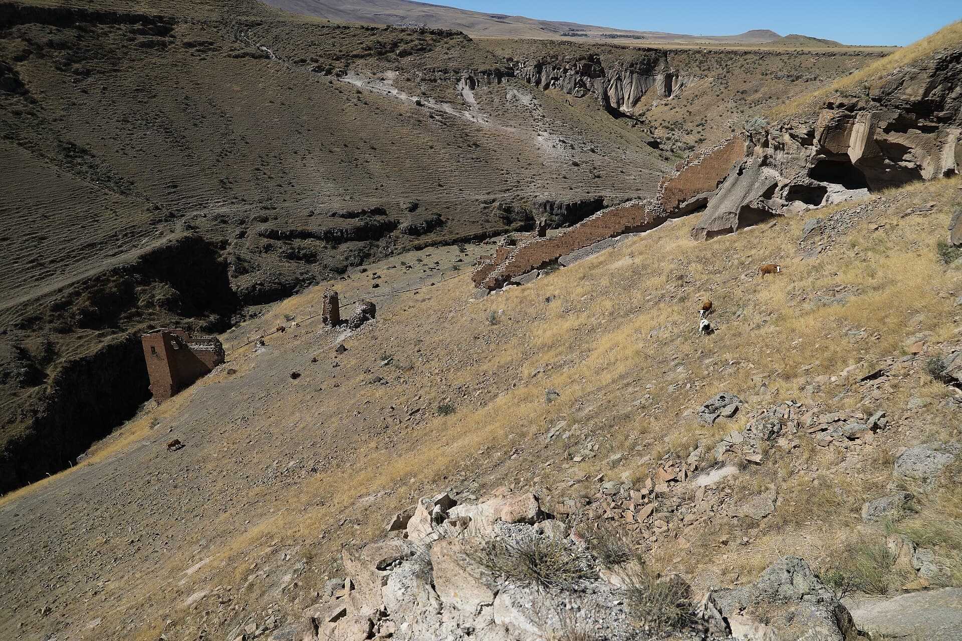
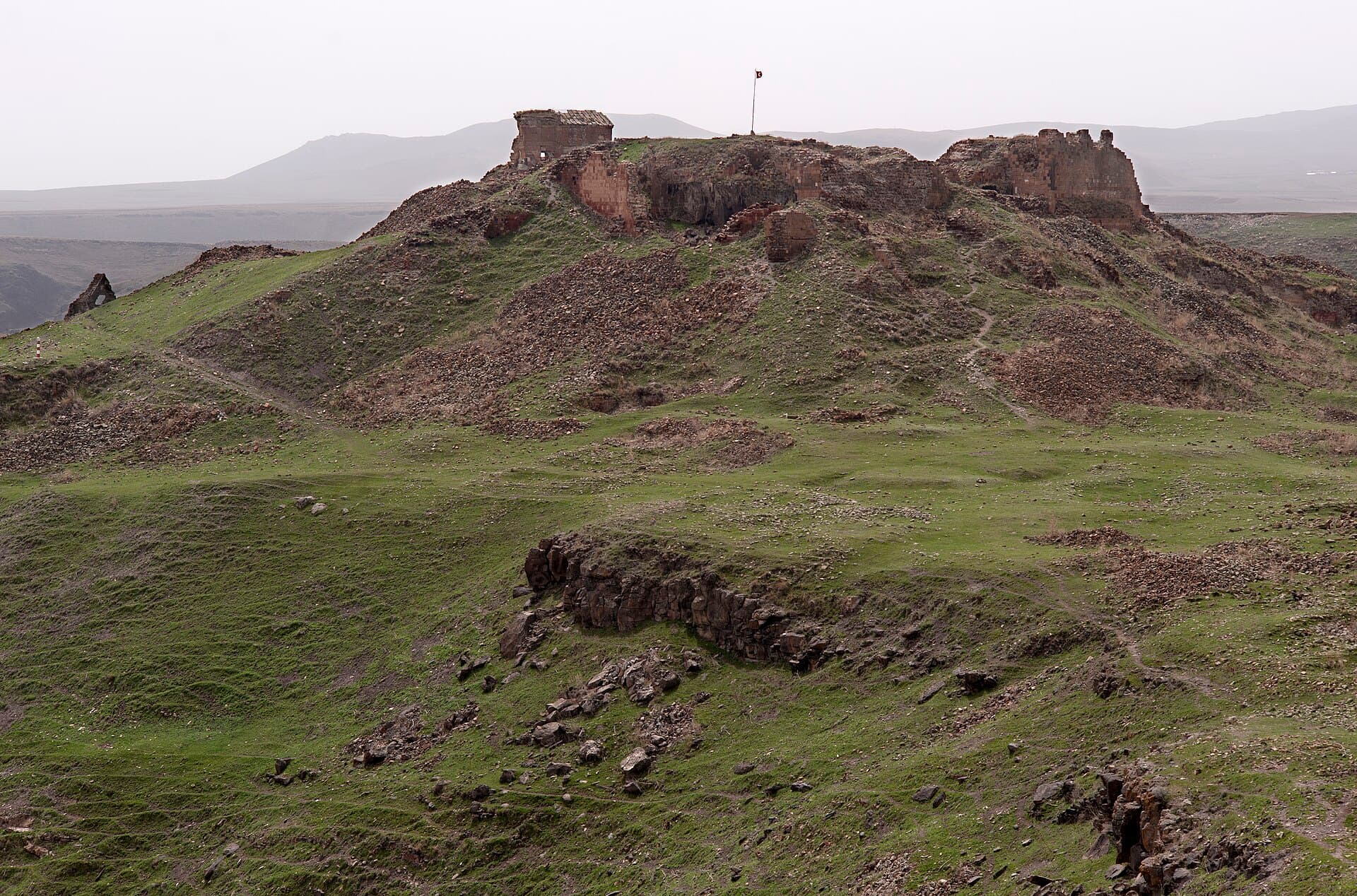
The southern tip of the plateau, where two gorges meet — and where Armenia becomes visible across a border that has been closed since 1993.
Enough context, no spoilers
Why it matters
Fortified from before Ani was a capital, probably under the earlier Kamsarakan lords; the Bagratid kings later built their palace on its highest point. Three churches stood within its walls, including one thought to be the oldest surviving structure at Ani. Much of what remained collapsed further in a 1966 earthquake, on top of centuries of earlier damage.
What to know before you go
Walk to the far southern tip of the site and the whole reason Ani sits where it does becomes obvious. The city occupies a triangular plateau with a river gorge on one side and a valley on the other, and the citadel sits exactly at the point where they meet — the most defensible spot available, which is why fortification here probably predates the rest of the city, going back to the Kamsarakan lords who likely held a fort on this hill before Ani was ever a capital. The Bagratid kings built their palace on the highest point inside it; three churches stood within the citadel walls, including one that may be the oldest surviving structure anywhere at Ani, a small early church built before the royal city around it existed. Much of what still stood collapsed further in a 1966 earthquake, on top of everything the centuries before it had already done, so treat the citadel as a viewpoint with ruins attached rather than a building to tour. The view is the point. Below you the Akhurian river gorge cuts a deep line through the plateau, and the far bank of that gorge is Armenia — a border that has been closed to crossing since April 1993. You will very likely be able to make out a watchtower on each side. Turkish permits were required to visit Ani at all until 2004, and photography was restricted here during the Cold War years when this was a NATO frontier facing the Soviet Union directly; none of that applies today, and current visitors photograph freely. What has not changed is that this is still an active, watched international border, not a scenic overlook that happens to have one nearby — photograph the landscape rather than zooming in on the installations themselves, which is both the more interesting picture and the more sensible one. Come here last if you are walking the site north to south, which is the natural direction from the Lion Gate — the geography this fortress was built to exploit is easier to read once you have already seen the walls and churches it was protecting.