Uzungöl
A landslide dammed a mountain stream around 1700 and made this lake. It's 100km and 1h45 from Trabzon — plan a day, not an afternoon.
Enough context, no spoilers
Why it matters
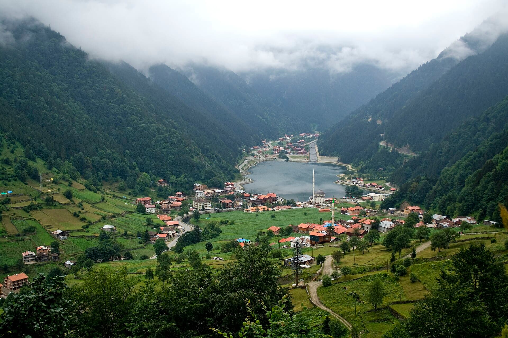
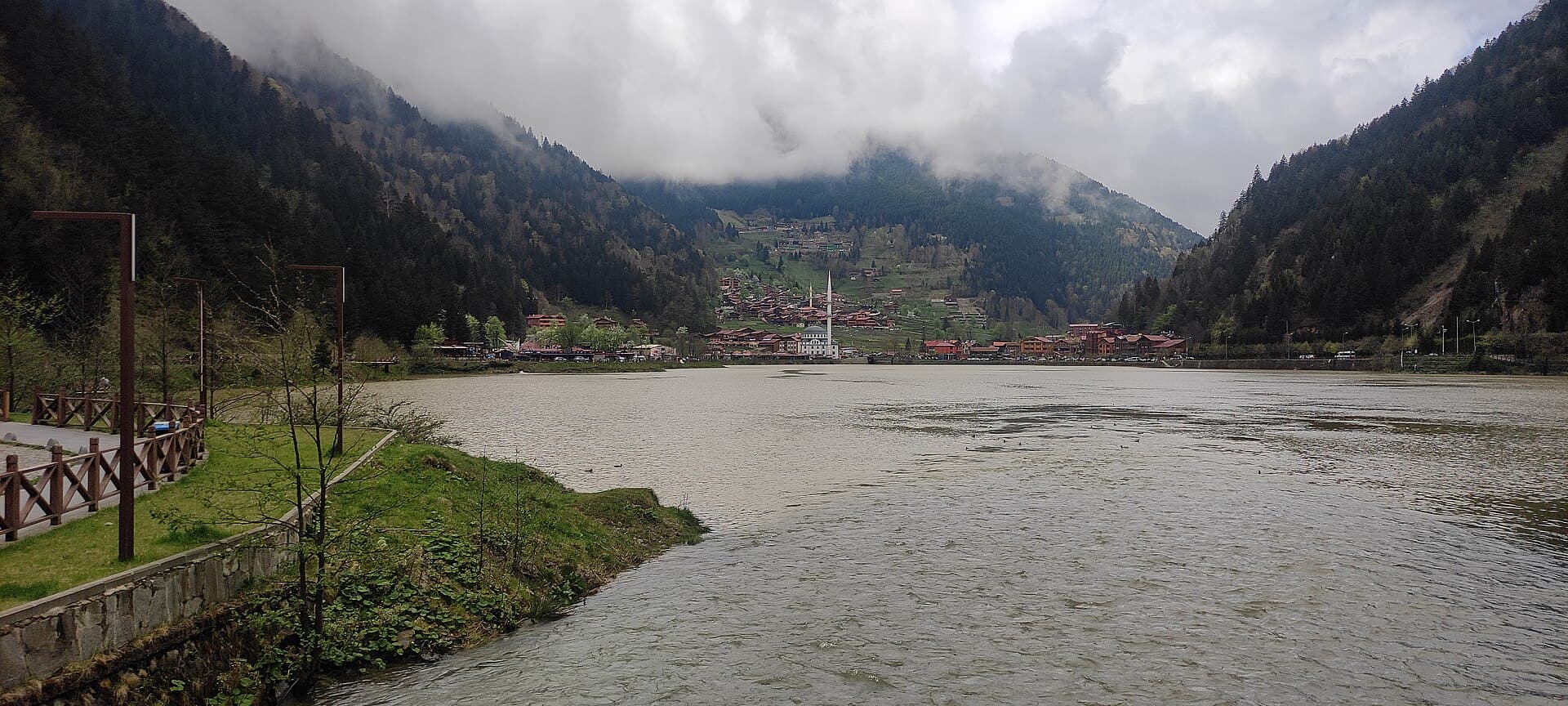
Uzungöl formed when a rockfall off the Haldizen Mountains blocked the Haldizen Stream, most likely in the late 17th or early 18th century — geologically recent, and the lake is still changing: once close to 2km long, it has silted down to under 1km since. It sits at roughly 1,090m in the Soğanlı range above Çaykara district, a genuine alpine basin, not a coastal lake.
What to know before you go
Set the expectation before you set out: Uzungöl is not a stop on the way to somewhere else. It's roughly 100km from central Trabzon — up the coast to Of, then inland and up, following the Solaklı valley into the Soğanlı mountains — and the drive alone runs about an hour and forty-five minutes each way. Guides that frame it as a half-day add-on to a Trabzon city visit are setting visitors up to either turn back early or arrive exhausted. Treat it as its own day, or better, an overnight in the highlands.
What you're driving to is a young landscape, not an ancient one. Sometime around the turn of the eighteenth century, a slab of the Haldizen Mountains let go and slid into the valley, damming the Haldizen Stream below the village of Şerah. The water backed up behind the rockfall and, over time, filled the basin into the lake you see today — a process still running: Uzungöl was once close to two kilometres long, and sediment carried down from the mountains has silted more than half of that away within a few generations. At roughly 1,090m elevation, it sits in a genuinely alpine bowl, cold and green in a way nothing on the Black Sea coast eight hundred metres below it is.
Be honest with yourself about the shoreline nearest the car park: it's a working tourist strip — souvenir stalls, photo props, quad-bike rental, restaurants competing over the same view. That's fine; walk through it rather than around it, order the grilled trout (raised in the Haldizen's cold water, genuinely good), and then take the lakeside path. It's an easy three kilometres, about forty-five minutes, and it does what the car park can't: it puts the wooden Black Sea houses, the pine slopes, and the still water reflecting them all in one frame, with the crowd thinning fast past the first bend. For more, a steeper forest trail climbs out of the valley toward 1,200m.
Come early, and come outside July–August if you can manage it — that's when the lake is most crowded, largely with Gulf families for whom this cool green valley is a genuine escape from a much hotter summer at home. Winter brings a different problem: the mountain road has a real history of rockfall after heavy snow thaws quickly, sometimes closing to controlled single-lane access. Check conditions before a winter trip.