The Lycian Way
Türkiye's first waymarked long trail starts 15 minutes from Fethiye. You're not walking to Antalya — pick one half-day stretch instead.
Enough context, no spoilers
Why it matters
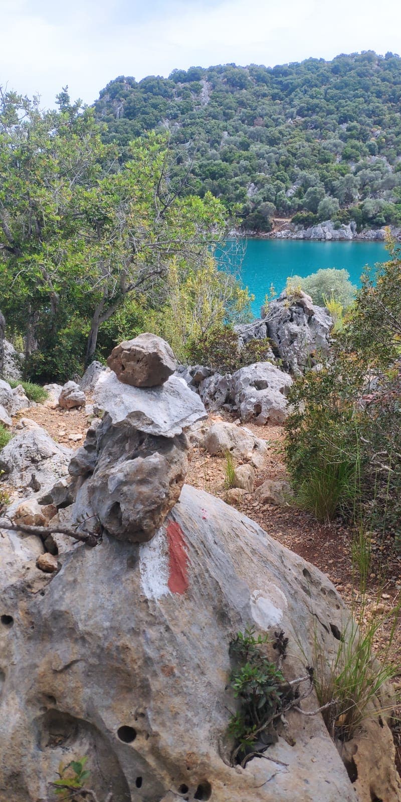
Kate Clow researched and waymarked the roughly 540km route from 1999, in the red-and-white stripes of European GR trails, from Ovacık near Fethiye to Geyikbayırı near Antalya. Signage is volunteer-maintained and patchy in places; the Culture Routes Society agreed to renew it with Antalya's tourism authority in 2022.
What to know before you go
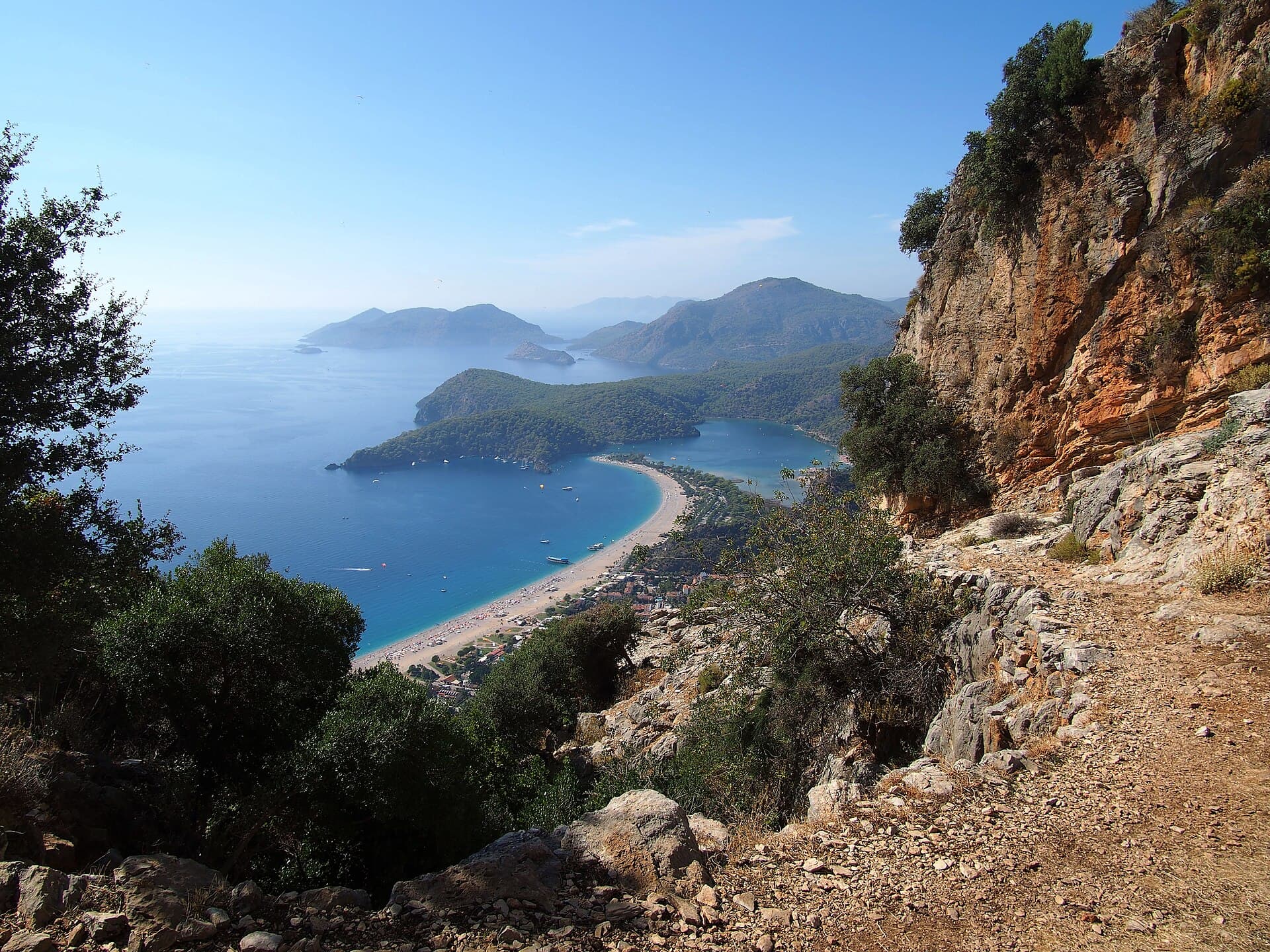
Nobody arriving for a three-day trip is walking to Antalya, and the entry that matters here is not the whole 540-kilometre trail — it's the fact that its western end sits fifteen minutes from where you're staying, and a single day of it is one of the best low-cost, low-commitment things on this coast. The trail was waymarked by Kate Clow from 1999 in the red-and-white stripes of European long-distance paths, one of the first routes of its kind in Türkiye. The official start is at Ovacık, on Fethiye's eastern edge, marked at the village muhtarlık rather than anywhere dramatic; from there the path climbs into pine forest above Ölüdeniz before the coastline properly opens up. Two stretches make sense for a visitor with a morning or a day rather than three weeks. Ovacık to Kayaköy is short, largely shaded, and delivers you at the ghost village's edge on foot rather than by dolmuş — arguably the better way to arrive. Faralya to Kabak, further south and reached by a short drive or dolmuş first, is the trail's postcard section: an exposed clifftop path with the sea directly below for most of its length, ending at Kabak's beach after a couple of hours. Both are waymarked with the same white-over-red paint stripes every fifty metres or so, in theory; in practice, stretches have gone unmarked for a season at a time, and a 2022 agreement between the Culture Routes Society and Antalya's tourism authority to renew the signposts doesn't cover every district equally. Carry more water than feels necessary — there is minimal shade on the exposed sections and no reliable water source on a half-day stretch — start early to beat the heat rather than the crowds, and download an offline map or GPX track rather than trusting the paint alone. This is mountain terrain by the trail's own difficulty rating, not a beach boardwalk, even on the short sections closest to town.