Climbing Mount Ararat
Not a hike, and not what most visitors here are doing: a permitted, guided, 4–5 day expedition into a military security zone.
Enough context, no spoilers
Why it matters
Friedrich Parrot's 1829 first ascent, guided by Khachatur Abovian, opened the mountain to organised climbing; access has been state-controlled ever since, tightening into today's permit-and-guide system given the summit's position on the Türkiye–Armenia–Iran frontier. Rules tightened again after a string of climber deaths, adding mandatory first-aid training and rescue communications to every group.
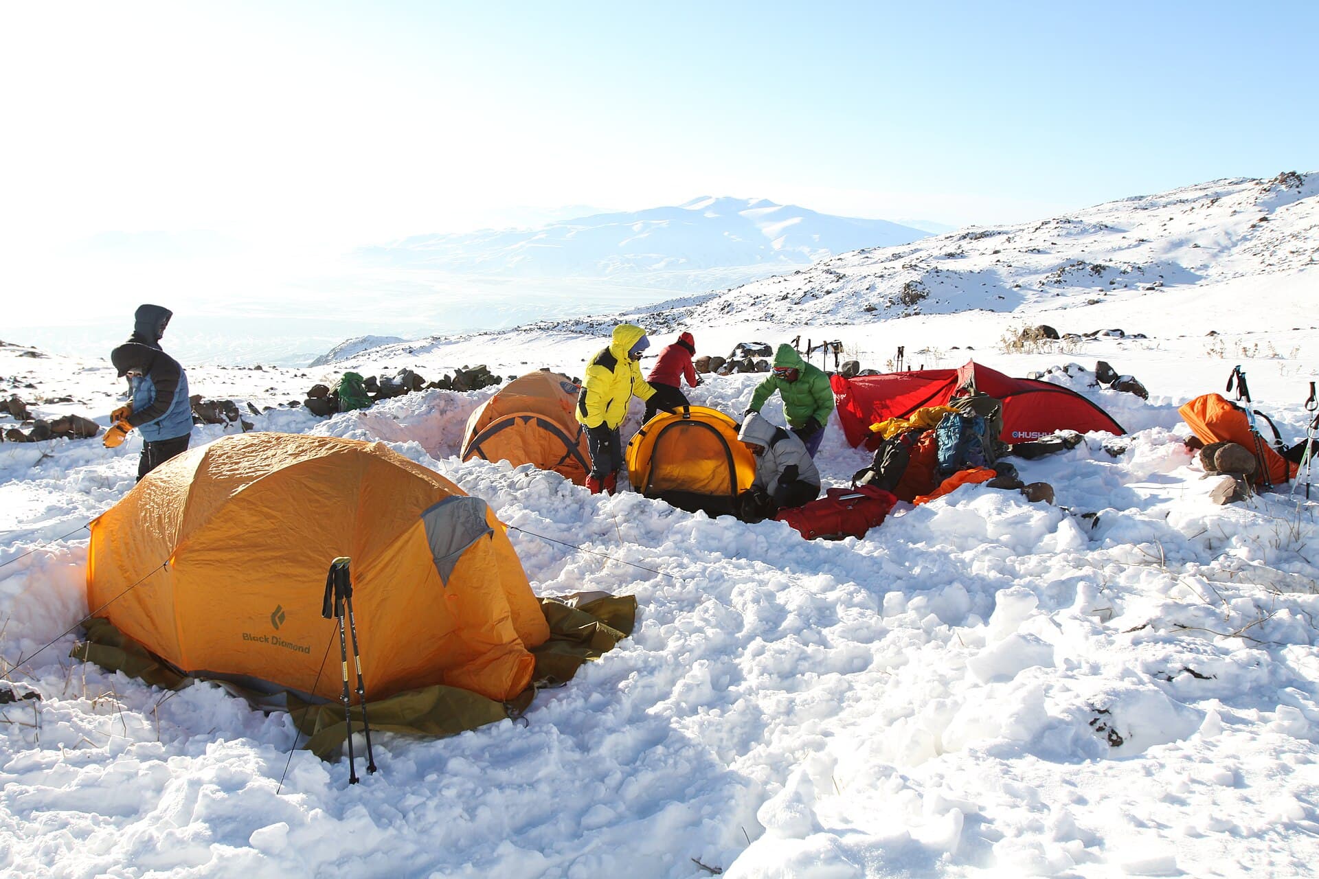
What to know before you go
Be honest with yourself before reading further: if you're choosing between this page's palace-and-viewpoint plan and an actual summit bid, you're very likely in the first group, and that's the right call for the overwhelming majority of people who come to Doğubayazıt. This entry exists for the minority who are already planning to climb, because the mountain deserves an honest account of what that involves — not a sales pitch. You cannot climb Ararat independently. The upper mountain sits inside a military security zone under Turkish law, a real and currently-enforced restriction tied to the summit's position on the Türkiye–Armenia–Iran frontier, not a historical footnote. Every climber, Turkish or foreign, needs a government-issued permit and a licensed local guide arranged through a Turkish agency, and checkpoints on the approach verify the paperwork. What that permit costs and how far ahead you need to apply are both less settled than outfitter websites make them sound. Quoted fees run from roughly $50 to $70 per person depending on the source, including one that appears to be an official government directive. Quoted lead times run from two weeks to two months across equally serious-looking sources. Treat both as ranges, not facts, and confirm current numbers with your agency directly — this page won't pretend to a precision the sources themselves don't have. The standard route, from the south side above Doğubayazıt, runs five days: a trekking day to Camp 1 around 3,200–3,300m, an acclimatisation day, a move to Camp 2 near 4,200m, a pre-dawn summit push and descent, and a contingency day held in reserve for weather. The glacier starts around 4,800m, so the final stretch is genuine ice climbing, whatever the elevation profile on paper suggests. The season is short for a reason — late June to early September, with July and August most reliable — because the route is considered unsafe outside it, and agencies will simply decline dates that fall outside that window. Rules tightened after a string of deaths on the mountain: every group now needs a member trained in first aid and communications equipment capable of calling for rescue, since cell coverage disappears well below the summit. None of this is a reason not to go, if you were already going. It's a reason not to treat it as an add-on to the trip most readers of this page are actually planning.